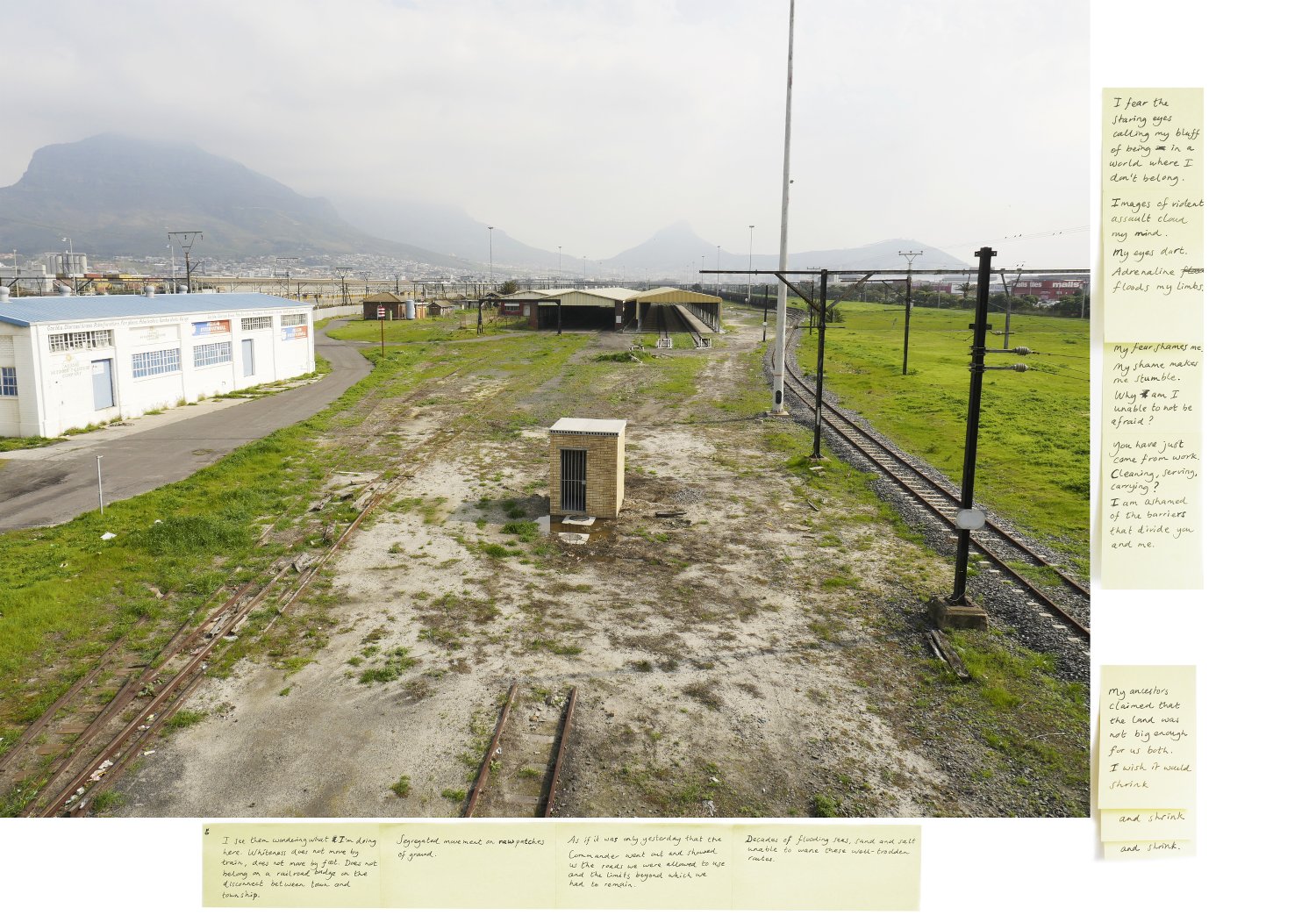
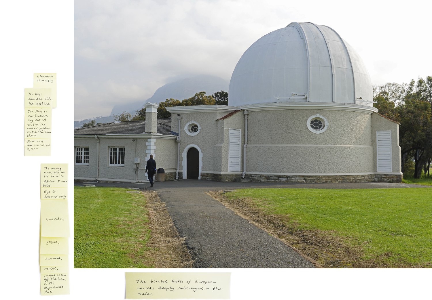
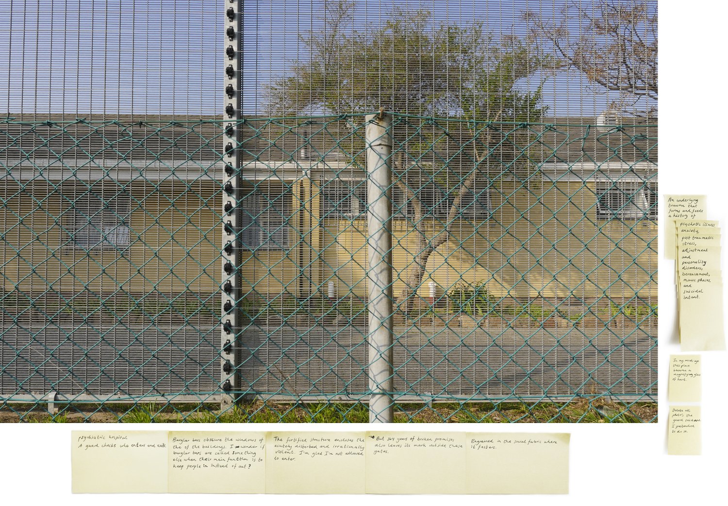
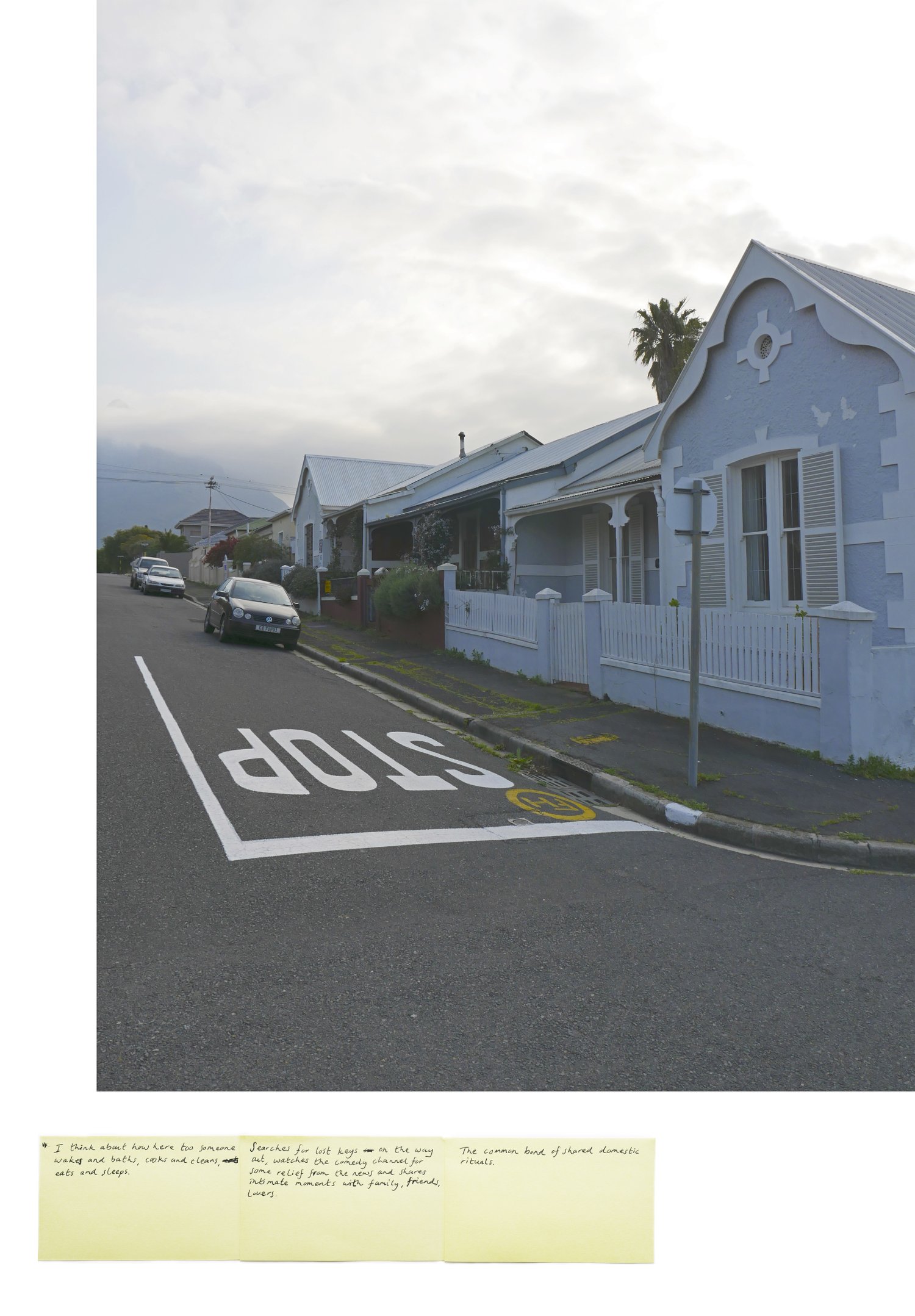
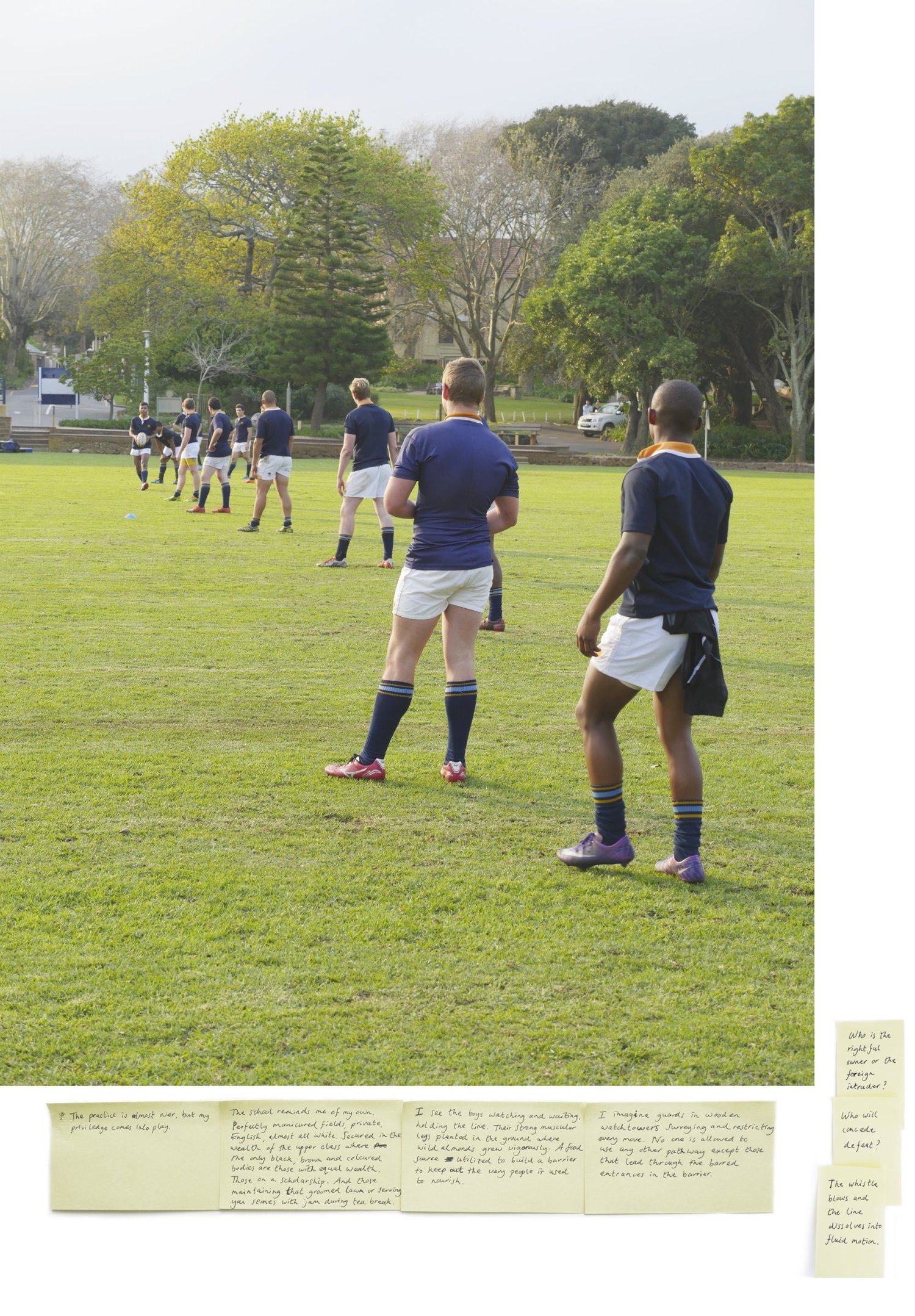
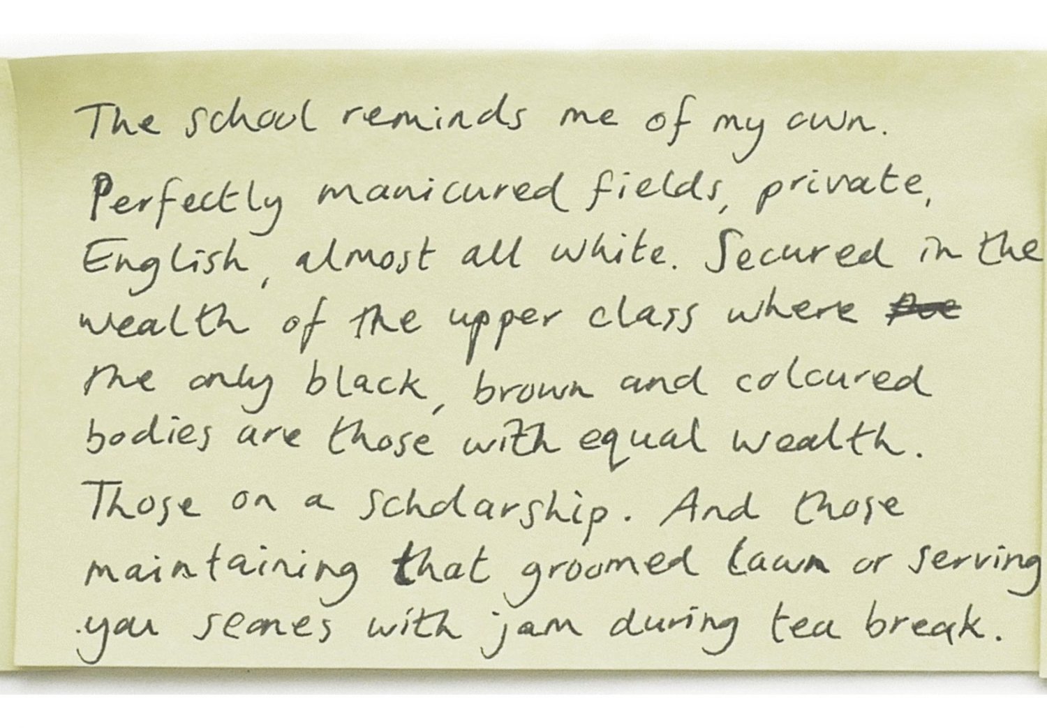
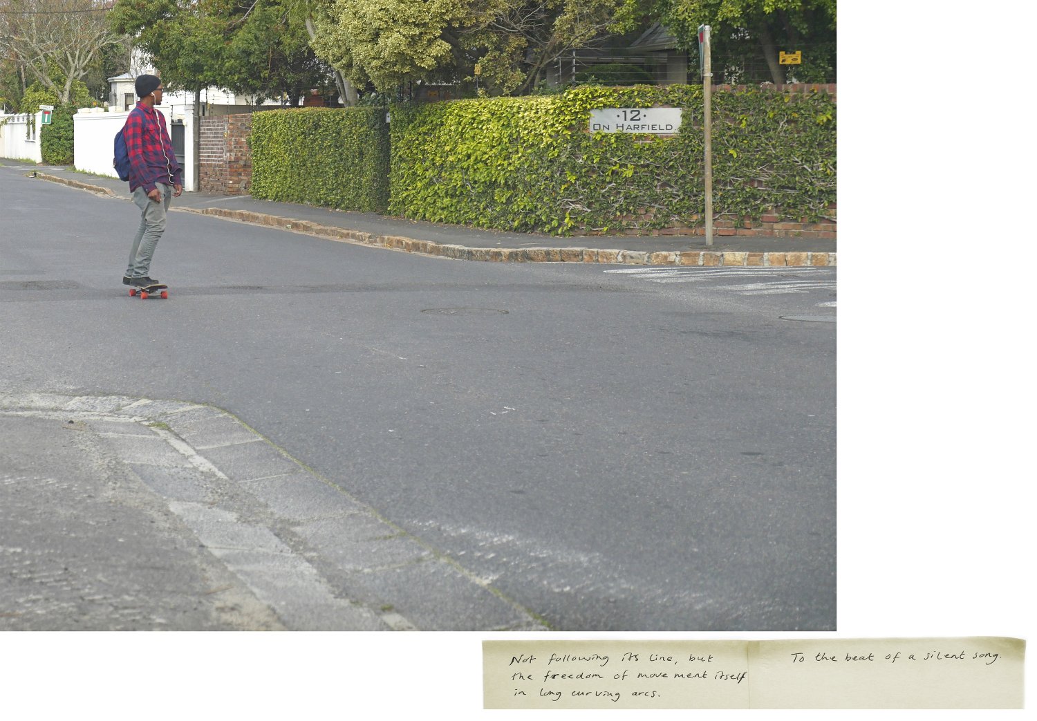
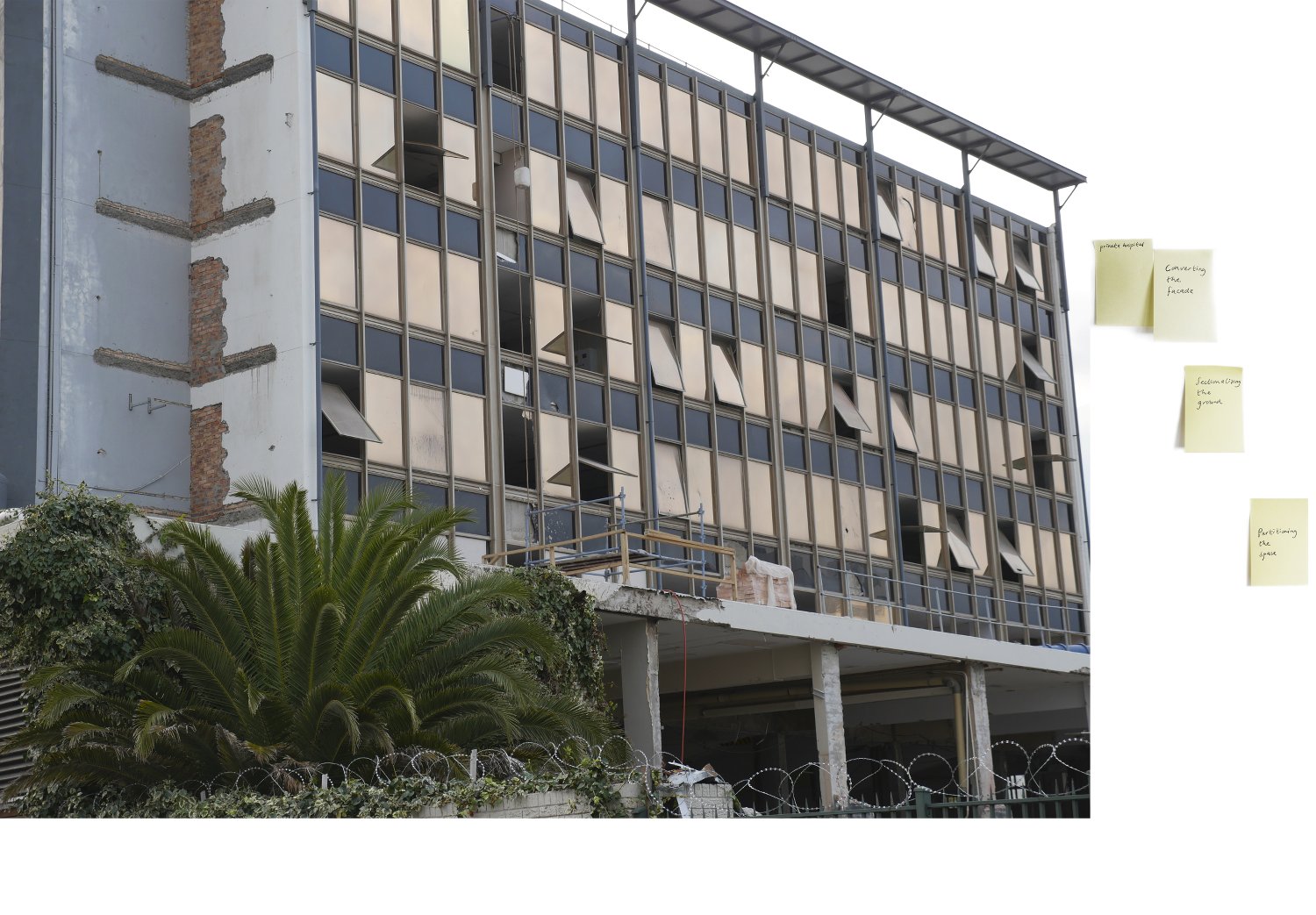
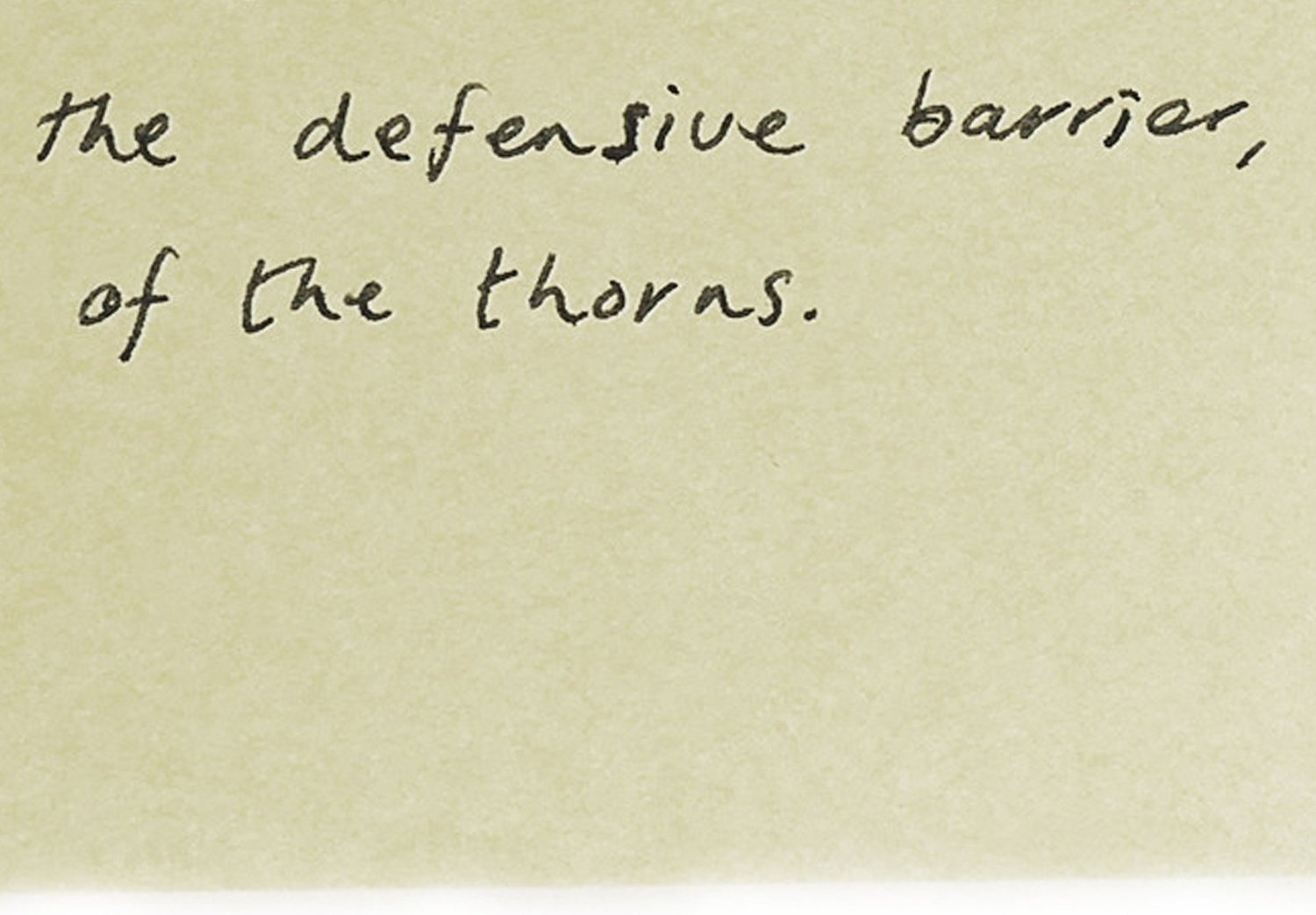
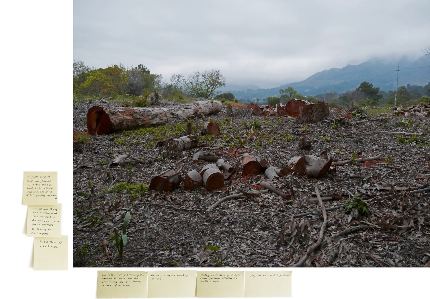
For the photo collage series Echolocation visual artist Judith Westerveld mapped out the places in today’s Cape Town where the hedge used to run. Using historical maps depicting Van Riebeeck’s hedge and the descriptions of its location in Jan van Riebeeck’s journal, Westerveld followed this route by car in August 2015. She traced the hedge in its urban sprawl of one-ways, highways and railways, restricted (military, hospital, astronomical) areas, public parks and private properties. She took photographs of several locations where the hedge used to run, noting down factual information and her personal reflections and experiences at these sites. These were visually and explicitly incorporated in the photographic works.
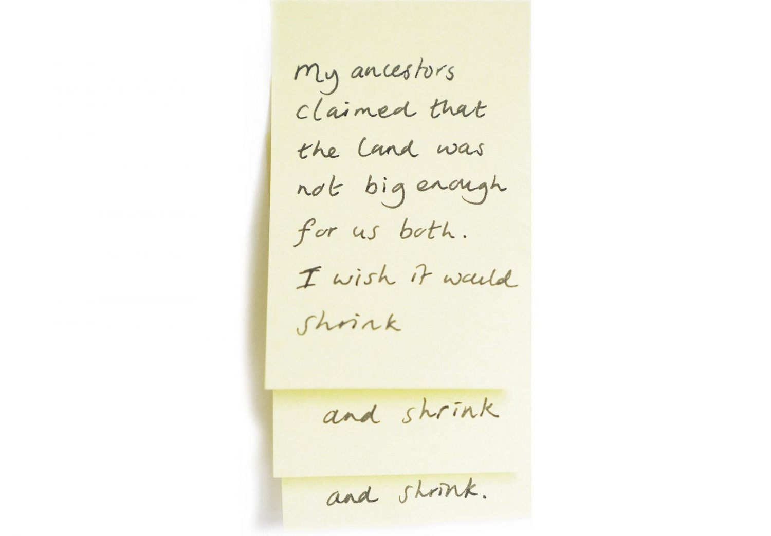
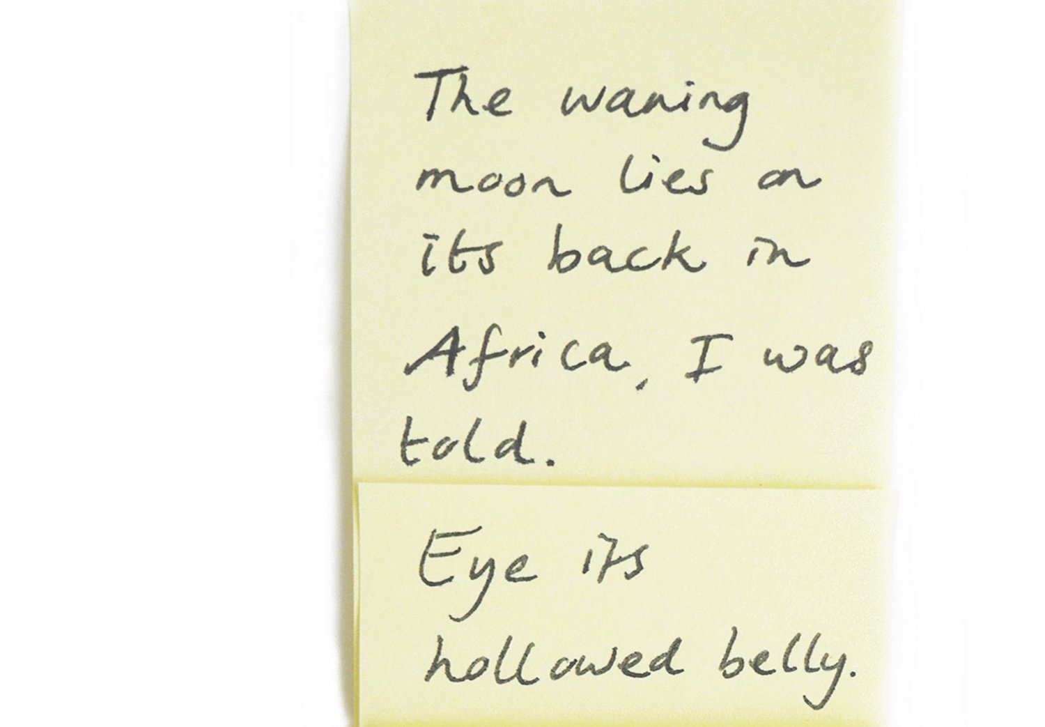
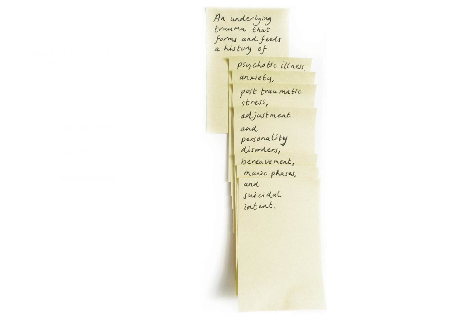
Thus trying to locate where the erstwhile hedge used to run, Echolocation became a historical quest. At each place Westerveld called on, the echo she received was the lineage of the hedge in the form of constructed barriers, restricted movement and preconceived ways of looking at one another. Each time, past and present intertwined. Back in the studio she scribbled these observations, the memories that they triggered and their historical references on layers of yellow ‘post-it’ notes. These were added in collage form to the photographic images.